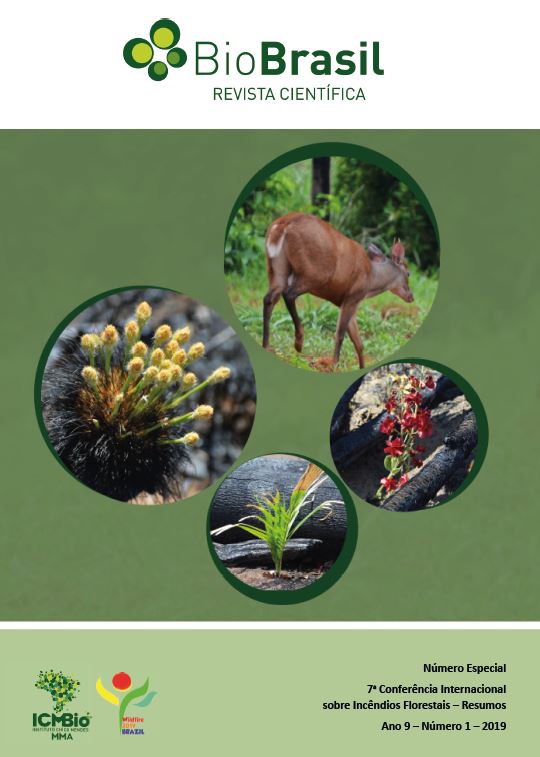
O destino de florestas degradadas por fogo florestal nos Estados do Mato Grosso e Pará
DOI:
https://doi.org/10.37002/biodiversidadebrasileira.v9i1.1296Referências
Asner, G.P., Broadbent, E.N., Oliveira, P.J.C., Keller, M., Knapp, D.E., Silva, J.N.M., 2006. Condition and fate of logged forests in the Brazilian Amazon. Proc. Natl. Acad. Sci. U. S. A. 103, 12947–12950. https://doi.org/10.1073/pnas.0604093103
Azeredo, M., Escada, M.I.S., Monteiro, M.V., Pinheiro, T.F., 2016. Mineração de trajetórias de mudança de uso e cobertura da terra em estudos de degradação florestal. Rev. Bras. Cartogr. 68, 717–731.
Barlow, J., Peres, C.A., 2008. Fire-mediated dieback and compositional cascade in an Amazonian forest. Philos. Trans. R. Soc. Lond. B. Biol. Sci. 363, 1787–94.
Capanema, V.P.; Pinheiro, T.P.; Escada, M.I.S.; Sant'Anna, S. Mapeamento de padrões de intensidade da degradação florestal: estudo de caso na região de Sinop, Mato Grosso. Rev. Bras. Cartogr. 70, 199-225
INPE, 2019. Sistema de detecção do desmatamento em tempo real (DETER) [WWW Document]. Inst. Nac. Pesqui. Espac. Inst. Sp. Reasearch. URL http://www.obt.inpe.br/deter/ (accessed 2.12.19).
INPE, 2018. PRODES: Monitoramento da Floresta Amazônica por Satélite/PRODES: Brazilian Amazon Forest Monitoring by Satellite Project [WWW Document]. Inst. Nac. Pesqui. Espac. URL http://www.obt.inpe.br/prodes/ (accessed 3.24.17).
Matricardi, E., Skole, D.L., Pedlowski, M.A., Chomentowski, W., Fernandes, L.C., 2010. Assessment of tropical forest degradation by selective logging and fire using Landsat imagery. Remote Sens. Environ. 114, 1117–1129.
Morton, D.C., Le Page, Y., DeFries, R., Collatz, G.J., Hurtt, G.C., 2013. Understorey fire frequency and the fate of burned forests in southern Amazonia. Philos. Trans. R. Soc. B Biol. Sci. 368. https://doi.org/10.1098/rstb.2012.0163
Pinheiro, T.F.F., Escada, M.I.S.I.S., Valeriano, D.M.M., Hostert, P., Gollnow, F., Müller, H., 2016. Forest Degradation Associated with Logging Frontier Expansion in the Amazon : The BR-163 Region in. Earth Interact. 20, 1–26. https://doi.org/10.1175/EI-D-15-0016.1
Souza, C.M., Roberts, D., Cochrane, M., 2005. Combining spectral and spatial information to map canopy damage from selective logging and forest fires. Remote Sens. Environ. 98, 329–343. https://doi.org/10.1016/j.rse.2005.07.013
Downloads
Publicado
Edição
Seção
Licença
Os artigos estão licenciados sob uma licença Creative Commons Atribuição-NãoComercial-SemDerivações 4.0 Internacional (CC BY-NC-ND 4.0). O acesso é livre e gratuito para download e leitura, ou seja, é permitido copiar e redistribuir o material em qualquer mídia ou formato.


 v3-3-0-3-2-1-8-release.27